At 101 we have a proven track record of creating professional websites and apps that feature powerful geographic services to provide innovative, bespoke solutions for clients.

Geographic Integration
With the advent of free-to-use mapping services from Google, and to some extent Microsoft, more and more data is being associated with a geographic location. There is enormous scope for using geographic data to add value to your website and the services you offer to your clients.
At 101, our team has many years' experience of dealing with geographic data and our developers are specialists in delivering geo-aware solutions across multiple devices.
- Do you want to provide your web visitors with a simple location-matching service that allows them to search for their nearest dealer or store?
- Or perhaps you require a more complex multi-factored matching solution that sets you apart from your competitors and positions you as a helpful innovator.
Proven Skills To Support Your Project
Whatever your geographic integration requirement and regardless of its complexity, we have the skills and expertise to support your project. Many of our clients use geographically-based data to provide their users with targeted information or services. Examples include:
- Voluntary Initiative - This application takes mapping data from the Environment Agency to provide farmers and their advisors with information relating to areas they must avoid or limit exposure of fertiliser and pesticides.
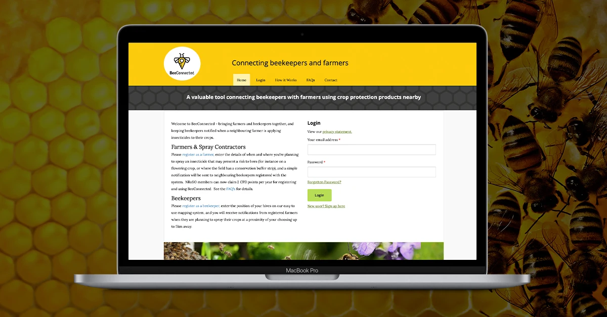
- BeeConnected - This service brings together farmers and beekeepers to help protect bees from potentially harmful insecticides. We developed a web-based system that allows farmers to enter the details of when and where they are planning to spray insecticides that may present a risk to bees and a notification is sent to neighbouring registered beekeepers. Beekeepers register the position of their hives via an easy-to-use mapping system and receive notifications when registered farmers are planning to spray their crops within a specified radius of the beekeeper, up to 5km away.
If you are interested in introducing a geographically-based service on a website or app, or would like to explore how to make your data geo-aware, then please get in touch to draw on our experience. We would be delighted to discuss options and opportunities with you.